Importance of GIS and Remote Sensing Tools
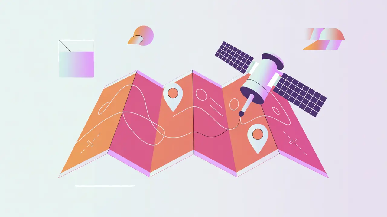
Geographic Information Systems (GIS) and Remote Sensing Tools are technologies that collect, analyze, and visualize spatial data from maps, satellites, and sensors. GIS platforms manage geospatial information, while remote sensing tools capture data about the Earth’s surface using satellites, drones, or aircraft. Their importance today lies in enabling organizations to understand complex spatial patterns, monitor change over time, and make informed decisions based on location-specific insights.
For social innovation and international development, GIS and remote sensing tools matter because many mission-driven challenges (disease outbreaks, food insecurity, or disaster response) are inherently tied to geography. These tools allow organizations to combine global data with local knowledge to design interventions that are precise and effective.
Definition and Key Features
GIS platforms like ArcGIS, QGIS, and Google Earth Engine enable mapping, analysis, and integration of geospatial datasets. Remote sensing tools rely on satellites (e.g., Landsat, Sentinel, Planet) or drones to capture imagery and sensor data such as temperature, vegetation, or soil moisture. Together, they provide powerful insights when combined with demographic, health, or climate data.
They are not the same as simple digital maps, which visualize locations but lack analytical depth. Nor are they equivalent to GPS navigation, which focuses on real-time positioning. GIS and remote sensing tools are designed for spatial analysis, monitoring, and predictive modeling.
How this Works in Practice
In practice, these tools allow organizations to identify vulnerable areas, track environmental changes, and model potential outcomes. For example, satellite imagery can detect deforestation, map flood risks, or monitor agricultural productivity. GIS integrates this data with community surveys, infrastructure, and population data to generate actionable insights. Open-source platforms like QGIS and Google Earth Engine make advanced geospatial analysis more accessible to organizations with limited resources.
Challenges include the cost of high-resolution commercial imagery, the expertise required for advanced analysis, and ethical considerations around surveillance and data ownership. Connectivity limitations can also restrict access to large datasets in low-resource contexts.
Implications for Social Innovators
GIS and remote sensing tools directly empower mission-driven organizations. Health systems can track disease outbreaks and model mosquito breeding grounds. Education programs can map school coverage and identify underserved regions. Humanitarian agencies rely on satellite imagery for crisis mapping, refugee camp planning, and disaster recovery. Civil society groups use GIS to advocate for environmental justice, land rights, and equitable access to resources.
By combining geospatial intelligence with mission goals, GIS and remote sensing tools help organizations design interventions that are data-driven, locally responsive, and globally relevant.