Importance of Route Optimization for Field Operations
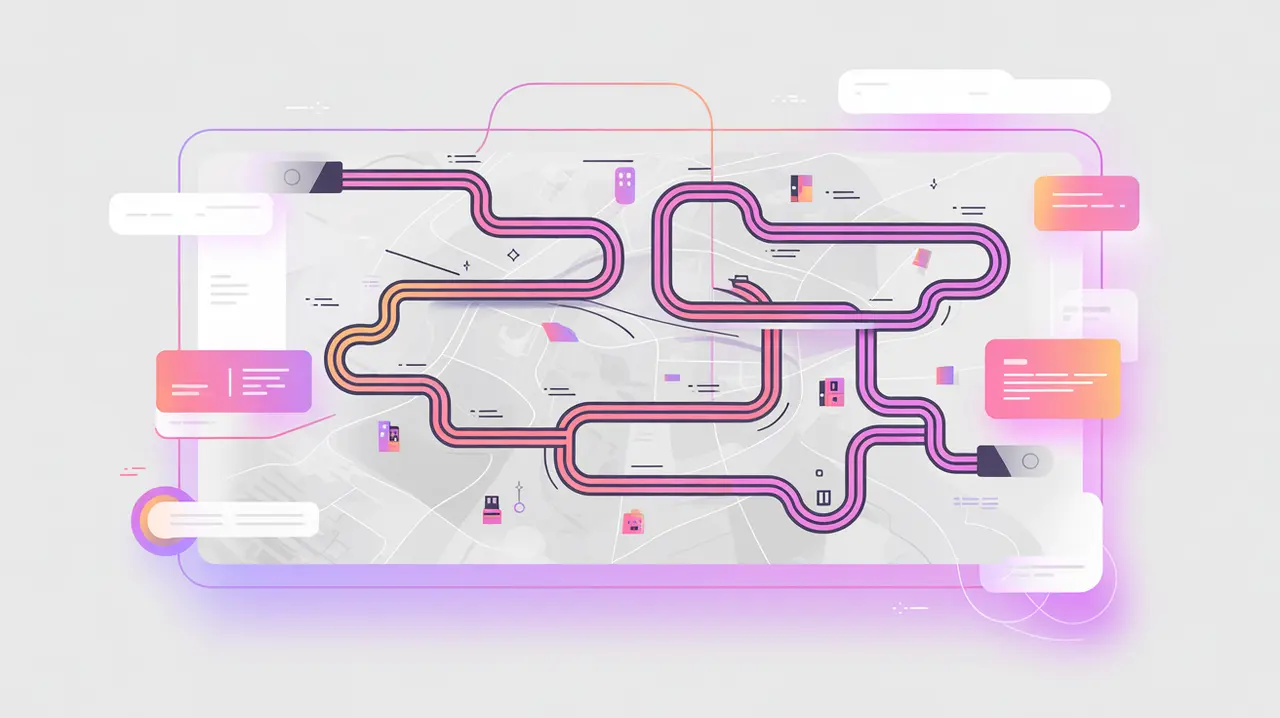
Route Optimization for Field Operations uses algorithms and digital tools to determine the most efficient paths for delivering goods, conducting surveys, or visiting service points. These tools account for variables such as distance, traffic, fuel costs, and accessibility. Their importance today lies in reducing operational costs, saving time, and increasing coverage. This is critical in contexts where resources are scarce and needs are high.
For social innovation and international development, route optimization matters because mission-driven organizations often work in challenging environments with poor infrastructure. Efficient routing allows them to serve more people, extend the reach of services, and respond faster during emergencies.
Definition and Key Features
Route optimization relies on geographic information systems (GIS), GPS data, and optimization algorithms such as the traveling salesman problem (TSP) and vehicle routing problem (VRP). Commercial tools include Google Maps APIs, Mapbox, and specialized logistics platforms like Routific or OptimoRoute. Humanitarian-specific systems integrate with supply chain platforms and field data collection apps.
It is not the same as basic navigation apps, which provide single-route directions but lack multi-stop optimization. Nor is it equivalent to supply chain platforms alone, which focus on warehousing and inventory but may not optimize field-level routes. Route optimization focuses specifically on movement efficiency across multiple points.
How this Works in Practice
In practice, route optimization helps organizations schedule deliveries, plan survey enumerator routes, and coordinate mobile service units. For example, a vaccination campaign can optimize routes for health workers covering multiple villages in a day. During humanitarian crises, optimized routing ensures food or water reaches affected areas quickly, even when roads are damaged or congested. AI-enhanced models can adapt routes in real time based on changing conditions.
Challenges include incomplete or outdated map data in rural areas, limited GPS coverage, and the unpredictability of road conditions in fragile contexts. Equity considerations are also key. Routes must balance efficiency with fairness so that remote or marginalized communities are not excluded.
Implications for Social Innovators
Route optimization directly benefits mission-driven organizations. Health programs use it to expand the reach of mobile clinics and vaccination drives. Education initiatives rely on it for delivering textbooks or digital devices to schools. Humanitarian agencies depend on optimized routes to deliver life-saving aid during emergencies. Civil society groups can deploy it for advocacy campaigns, ensuring outreach teams cover diverse communities effectively.
By improving efficiency and coverage, route optimization for field operations helps organizations stretch limited resources further while ensuring communities receive timely and equitable services.